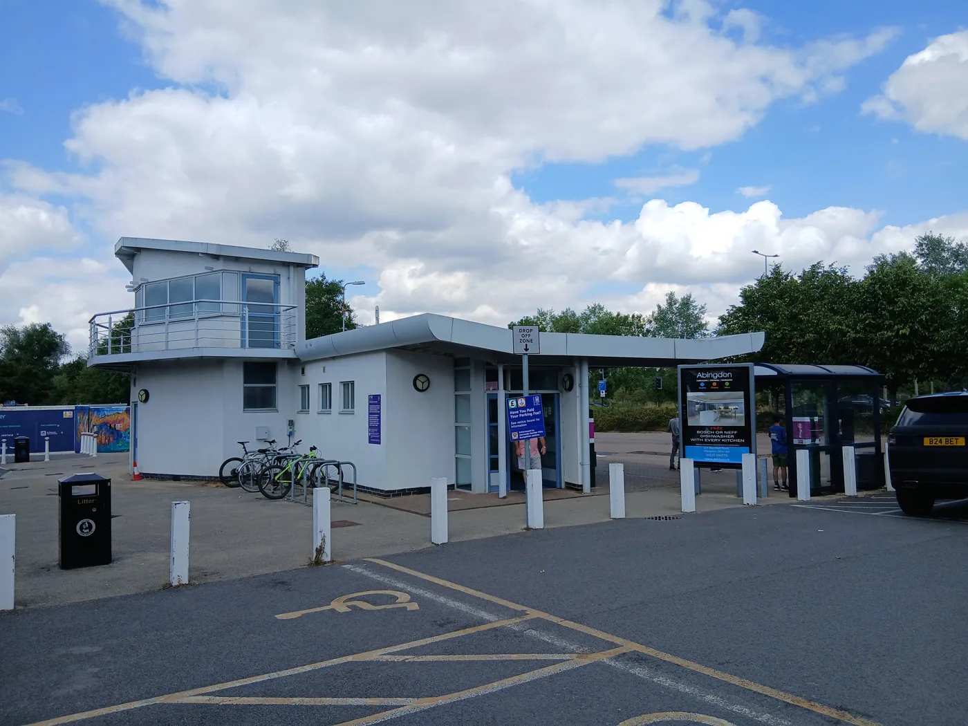

Plans for 240 homes opposite Redbridge Park and Ride go on show on 23 and 24 September. Council gas monitoring of the old tip below found methane at up to 43%.
Plans for 240 homes on the council-owned land opposite Redbridge Park and Ride go on public show in south Oxford next week. The exhibition runs at St Luke’s Church, Canning Crescent, OX1 4XB, on Wednesday 23 and Thursday 24 September, 4pm to 8pm both nights. The deadline for comments is 6pm on Sunday 11 October. (Oxford City Council, 9 September 2026)
The site is Redbridge Paddock, in Hinksey Park ward, between Abingdon Road and Weirs Mill Stream. It was a rubbish tip until the early 1970s and has been empty ever since, apart from ten years when a tenant grazed horses on it. (Cabinet report, 18 March 2026, paragraphs 6 and 8)
The builder is OX Place, the council’s own housing company, which has partnered with Hill Group on the site. (redbridgeoxford.co.uk)
What is proposed
The council’s announcement sets out the scheme as:
- 240 homes, from one-bedroom flats to five-bedroom houses
- affordable homes for Social Rent and Shared Ownership, “in line with Oxford’s planning policies”
- more than 30% of the site as public open space
- new landscaped and communal areas, and informal recreation space
- a cycle route running through the site
- a circa 11 acre former landfill and brownfield site
An outline planning application is expected “later in 2026”.
The tip underneath
None of that is in dispute. What is not in the announcement sits on the council’s own planning register, under reference 26/01879/SCOPE, a request for a formal opinion on what an Environmental Impact Assessment for the site has to cover. It was filed on 4 August 2026 and the statutory consultees have been replying since.
The Environment Agency answered on 24 August. Its letter names the tip as the Rivermead Landfill, operational between 1969 and 1972, and says the agency suspects construction and demolition waste, inert, semi-inert and biodegradable waste was deposited there.
Then this:
We are aware that 8 Gas boreholes have been installed by Oxford City Council (O.C.C.). Monitoring undertaken by O.C.C. has shown methane to have been detected at the site (maximum of 43%).
The agency adds that the Redbridge Park and Ride car park itself sits on another historic landfill, worked between 1967 and 1971 and also gas monitored, and that the ground below is alluvium over Oxford Clay, classed as a Secondary A aquifer. Its conclusion is that the contamination “may require extensive remediation and monitoring”, and it wants a Section 106 agreement used to lock that in. (Environment Agency scoping response, 24 August 2026)
The council has never hidden the landfill. Its March Cabinet report says the site “will require extensive remediation and enabling work to make the site safe and suitable for development”, that the scheme is “only viable to bring forward with subsidy support”, and that a bid was being prepared to Homes England to pay for the clean-up. The borehole readings are new to the public record.
Flood Zone 3, and a proposal to scope flood risk out
The Environment Agency also records that the site “is located within Flood Zone 2 and 3” and sits next to a main river, Weirs Mill Stream. It wants a site-specific Flood Risk Assessment with climate change modelling before any application is determined.
The scoping report proposes to leave flood risk out of the Environmental Impact Assessment altogether. That is not the same as not assessing it, because the Flood Risk Assessment is a separate document, but Oxfordshire County Council as the lead local flood authority noted the gap in its 4 September response:
Flood risk is proposed to be scoped out of the EIA. The risk is generally low with regard to fluvial flooding, however the report does not consider other sources of flood risk in any detail other than that it will be reviewed.
The county added that a check of the surface water flood map suggests surface water risk at this location is manageable. (Oxfordshire County Council consultation response, 4 September 2026)
On wildlife, the Environment Agency says water voles and otters would be affected by the moorings proposed along the riverbank, and asks whether the moorings could go somewhere the water voles are not. Himalayan balsam was recorded along the banks of the stream. The scheme is expected to deliver a 10% biodiversity net gain.
What has changed since March
The report that went to the council’s Cabinet on 18 March 2026 set out a scheme that is not quite the one on show next week.
| March 2026 Cabinet report | September 2026 consultation | |
|---|---|---|
| Homes | 237 | 240 |
| Site area | 8.99 acres / 3.64 hectares | circa 11 acres |
| Public open space | minimum 10% of the site | more than 30% |
| Affordable share | 50%, or 118 homes | “in line with Oxford’s planning policies” |
| Outline application | targeted August 2026 | “later in 2026” |
Three points are worth holding on to.
The affordable housing number has dropped out of the public wording. In March the council said half the scheme, 118 homes, would be affordable: 25 for Shared Ownership and the rest at Social Rent. The press release put the Social Rent figure at 93; the Cabinet report says 94 in one paragraph while giving the total as 118 in another. The September announcement gives no figure and no percentage at all. That is the single most useful question to put to OX Place at the exhibition.
The outline application has slipped. The March report targeted August 2026 for submission, with a decision in March 2027. It has not been submitted, and the council now says “later in 2026”.
The site has been getting less dense for years. The adopted Local Plan 2036 set a minimum of 162 homes here. The emerging Local Plan 2045 raised that to a minimum of 200. The council once expected around 295. The Cabinet report is blunt about why the number came down: it “improves the viability and deliverability of this mixed-tenure scheme”.
Getting in and out is the county’s main worry
Oxfordshire County Council is the highway authority, and its transport officer put the concern plainly:
OCC consider the main concern with the application to be vehicular access. The only feasible access location is opposite the Park and Ride which can impact bus services. Delay to buses will need to be minimised.
The county says a meeting with its public transport officer and Oxford Bus Company was planned to work through junction layouts. It understands a Toucan crossing of the A4144 Abingdon Road will form part of the access proposals, and that the development will be car free or car light. A Stage 1 Road Safety Audit will be required at application stage.
There is also a piece of land in the way. The county owns a strip between the site and the A4144, held as highway land but outside the adopted highway. Its estates team is still negotiating access rights with the city council’s estates team.
On schools, the county’s school organisation officer says the development “will have a significant impact on demand for pre-school, primary and secondary education”, including special educational needs places, and that additional provision would be expected.
What it means for you
If you live in Grandpont, New Hinksey or along Abingdon Road, the thing to judge at the exhibition is not the pictures of the houses. It is the three practical questions the official record has already raised:
- How the gas and the contamination get dealt with, and whether the Homes England money that makes the clean-up affordable has actually been awarded.
- How the junction works, given the county says the only feasible access is straight opposite the park and ride, on a road buses use.
- How many of the 240 will be genuinely affordable, and at what rent, now that the 50% figure has stopped appearing in public statements.
Nothing here is decided. The outline application has not been submitted, and on the council’s own programme the first homes would not be handed over until 2030 at the earliest, with the last phases running to 2033. If you want the decision itself to be watchable, this consultation is the stage where the numbers are still moving.
We track Oxford planning decisions and the big allocated sites on our Oxford planning news page, and the wider road and bus picture on Oxford roadworks and travel.
How to comment
- In person: St Luke’s Church, Canning Crescent, Oxford OX1 4XB, Wednesday 23 and Thursday 24 September, 4pm to 8pm.
- Online: the exhibition material goes up at redbridgeoxford.co.uk from 4pm on Wednesday 23 September.
- Deadline: 6pm on Sunday 11 October 2026.
- The planning file: the scoping request and every consultee response are public now at 26/01879/SCOPE.
This is a pre-application consultation run by the developer, not a statutory planning consultation. Formal objections and supporting comments can only be made once the outline application is registered.
Sources
- Have your say on plans for 240 new homes at Redbridge Paddock, Oxford City Council, 9 September 2026
- Project approvals and delegations for Redbridge Paddock affordable housing development, Cabinet report, 18 March 2026
- Plans for Redbridge Paddock housing scheme set for Cabinet approval, Oxford City Council, 12 March 2026
- Application 26/01879/SCOPE, Oxford City Council planning register, received 4 August 2026
- Environment Agency scoping response, 24 August 2026
- Oxfordshire County Council consultation response, 4 September 2026
Have your say