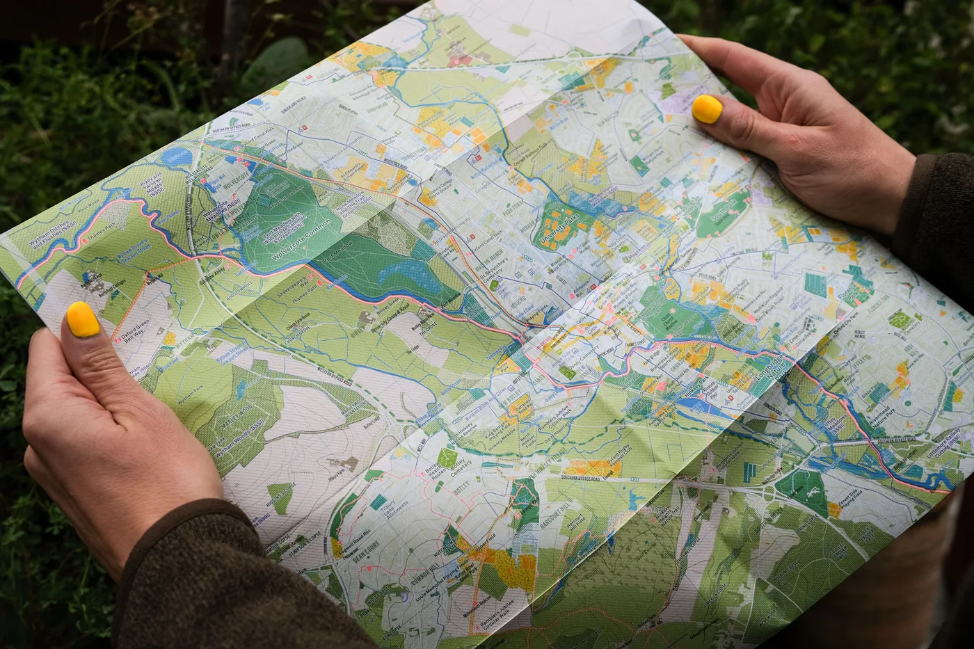

The Oxford Urban Nature Map is out on 19 November at £9, showing the city's meadows, rivers and woods. On the back is an atlas of wildlife through the seasons.
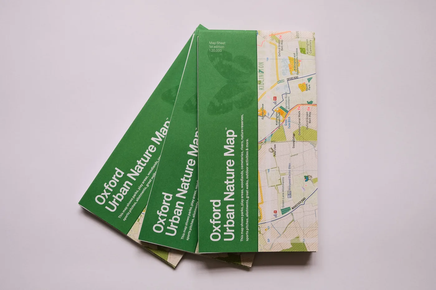
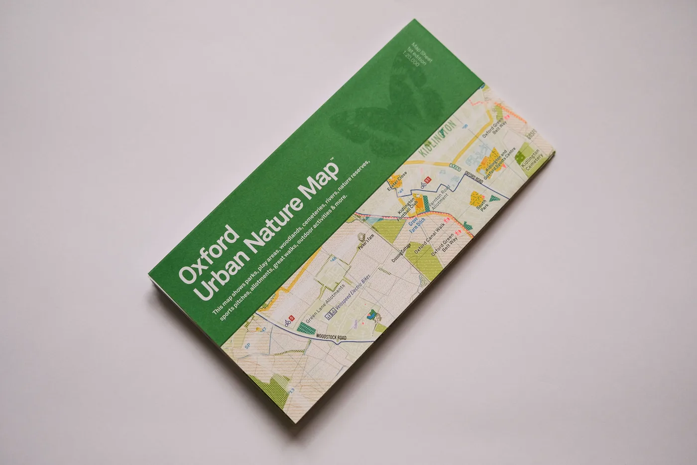
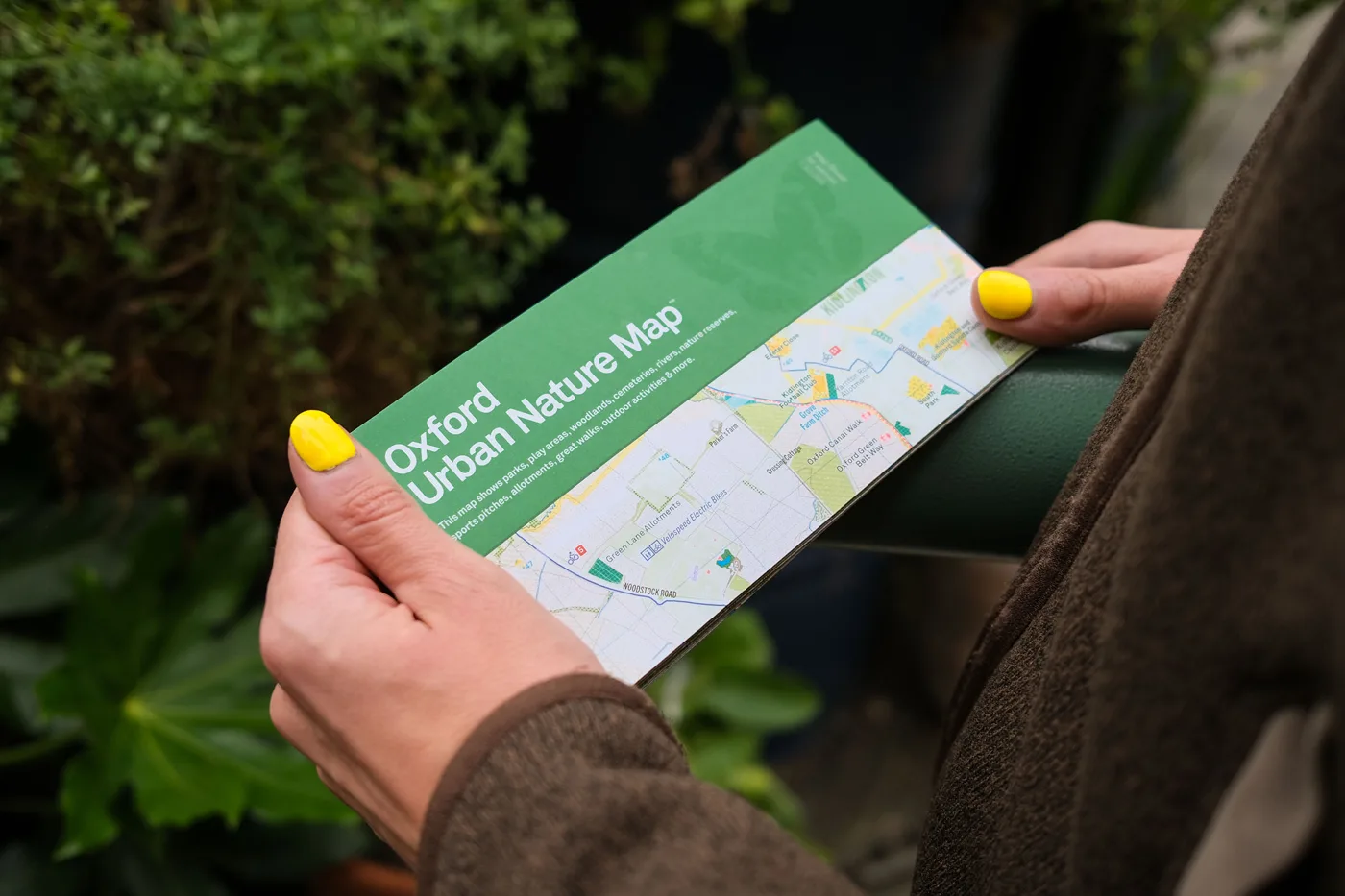
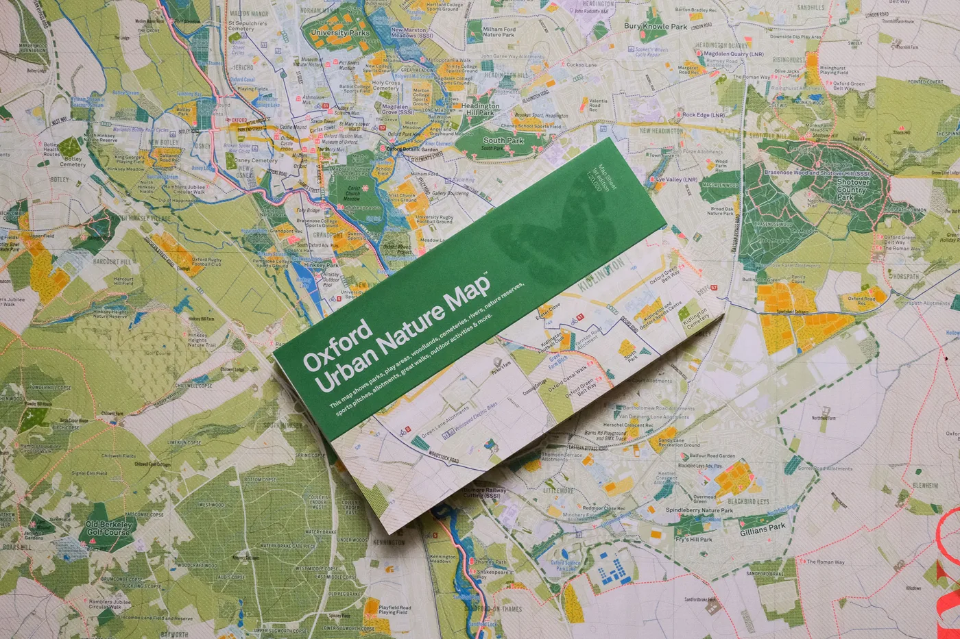
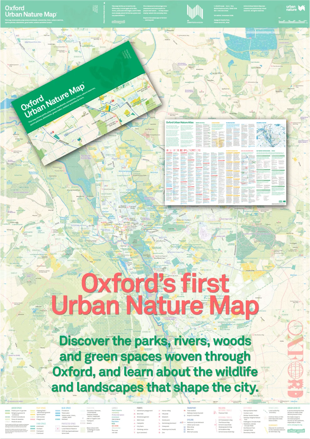
Oxford has its first Urban Nature Map, published on Thursday 19 November by the social enterprise Urban Good at £9. It is a folded A1 sheet at a scale of 1:20,000 that colours in the city’s parks, meadows, woods, rivers and nature reserves, from Port Meadow and the Thames to the wooded slopes of Shotover, with an illustrated nature atlas printed on the back.
The map is on sale from Urban Good’s website and, the publisher says, through independent shops.
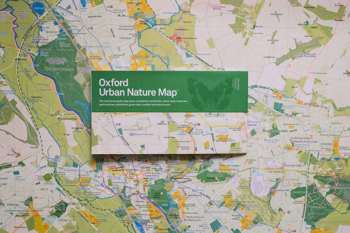
What is on the map
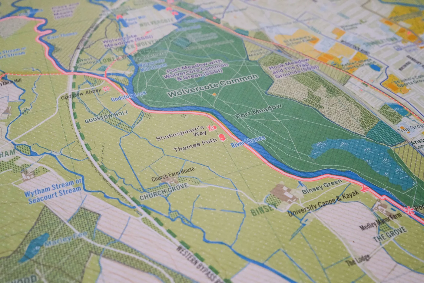
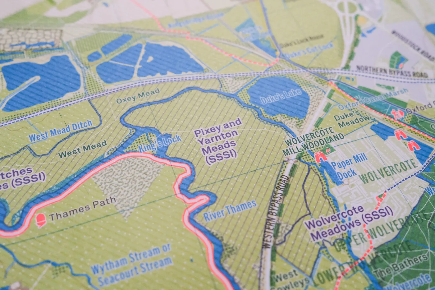
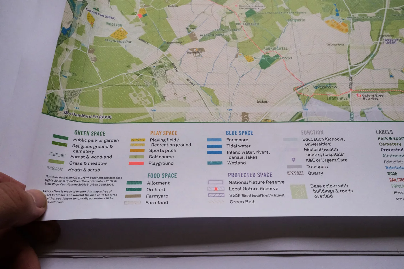
The front is a street map of Oxford with the green and blue spaces brought to the foreground: public parks and gardens, woodland, grass and meadow, playing fields, allotments, orchards and farmland, rivers, ponds and wetlands, and the National and Local Nature Reserves and Sites of Special Scientific Interest that run through and around the city.
“Oxford is famous for its dreaming spires, historic colleges and winding streets,” Urban Good says. “But look beyond the buildings and another city emerges: a remarkable landscape of rivers, floodplain meadows, ancient woodlands, parks, gardens and wildlife-rich spaces.”
2 photos, tap one to enlarge. Photos: supplied by Urban Good
Charlie Peel, who founded Urban Good and made the map, said:
“We tend to think of nature as somewhere beyond the city, but Oxford has an extraordinary natural landscape woven through it. I wanted to make a map that brings all of that into view: it’s something you can spread out on the table, discover a place you’ve never heard of, and set off on an adventure. The more we get to know these places, the more we can appreciate and care for them.”
2 photos, tap one to enlarge. Photos: supplied by Urban Good
Kate Raworth, creator of Doughnut Economics and an Oxford resident, said:
“This beautiful map, featuring myriad meadows and meandering waterways, brings the essence of Oxford’s nature to the fore. As I cycle through city streets, it changes my sense of where I am, and quietly reminds us all that wilder places are beckoning, often just a few steps away.”
The atlas on the back
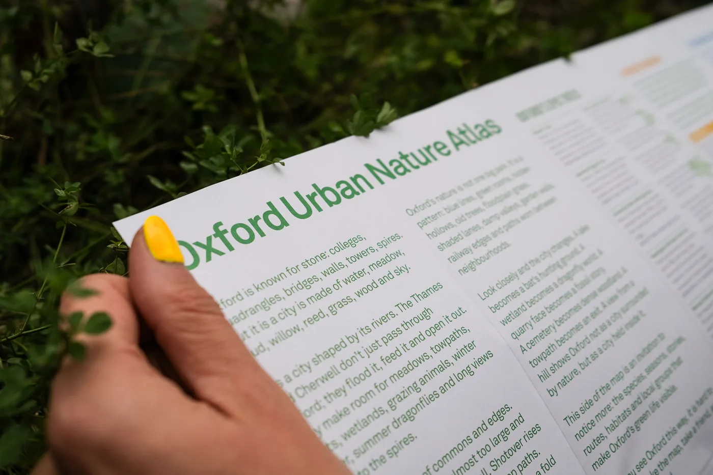
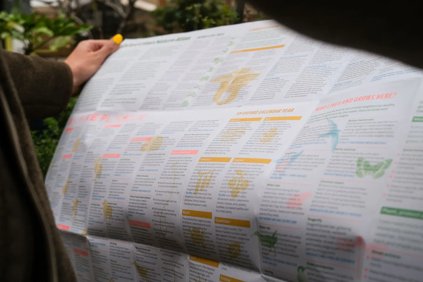
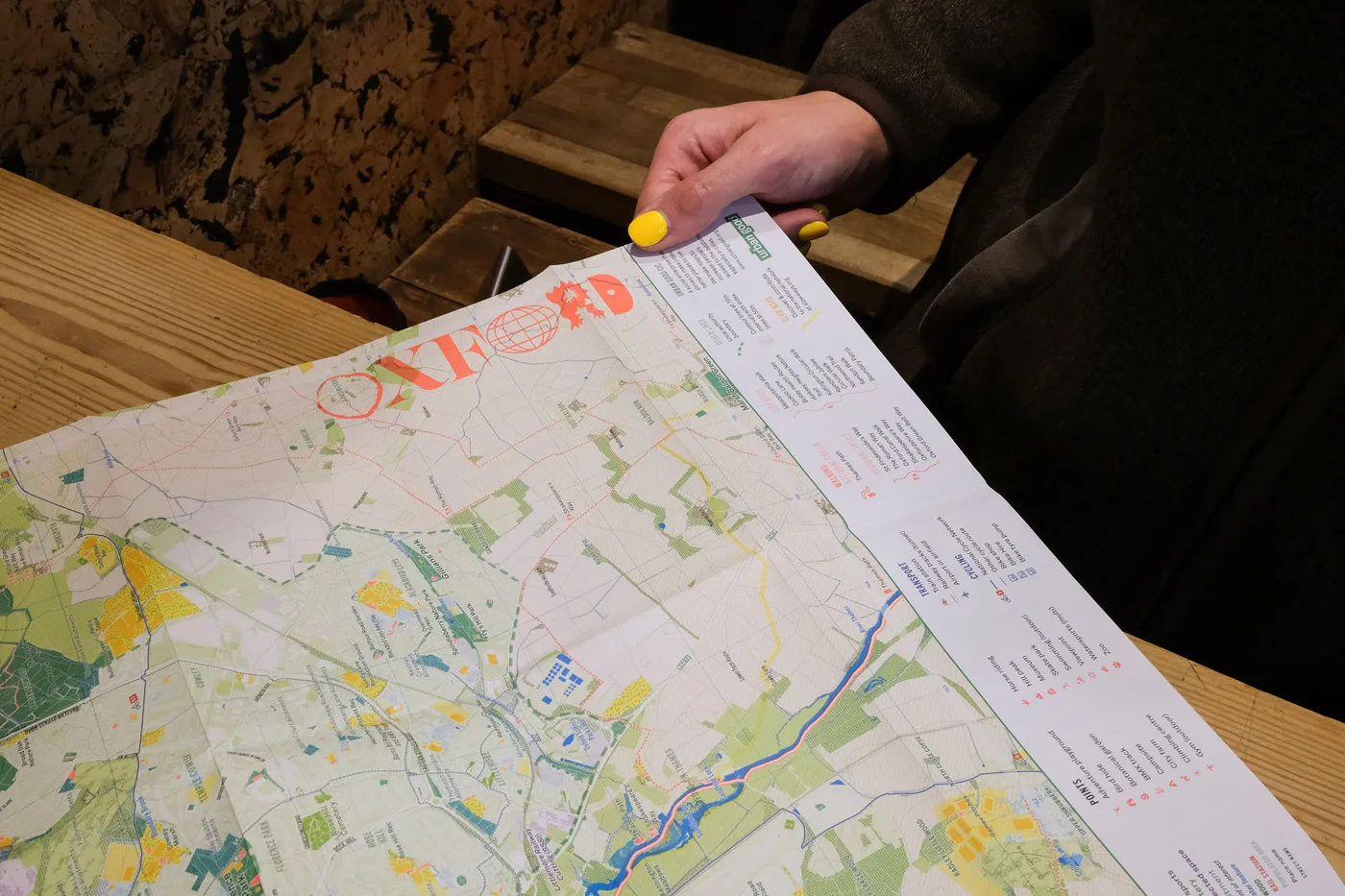
Turn the sheet over and there is the Oxford Urban Nature Atlas, an illustrated guide to the city’s wildlife through the year. It covers trees, waterways and animals “from swifts and kingfishers to fritillaries and fungi”, with ideas for family adventures, woodland walks and exploring ponds, and lesser-known places to find them.
2 photos, tap one to enlarge. Photos: supplied by Urban Good
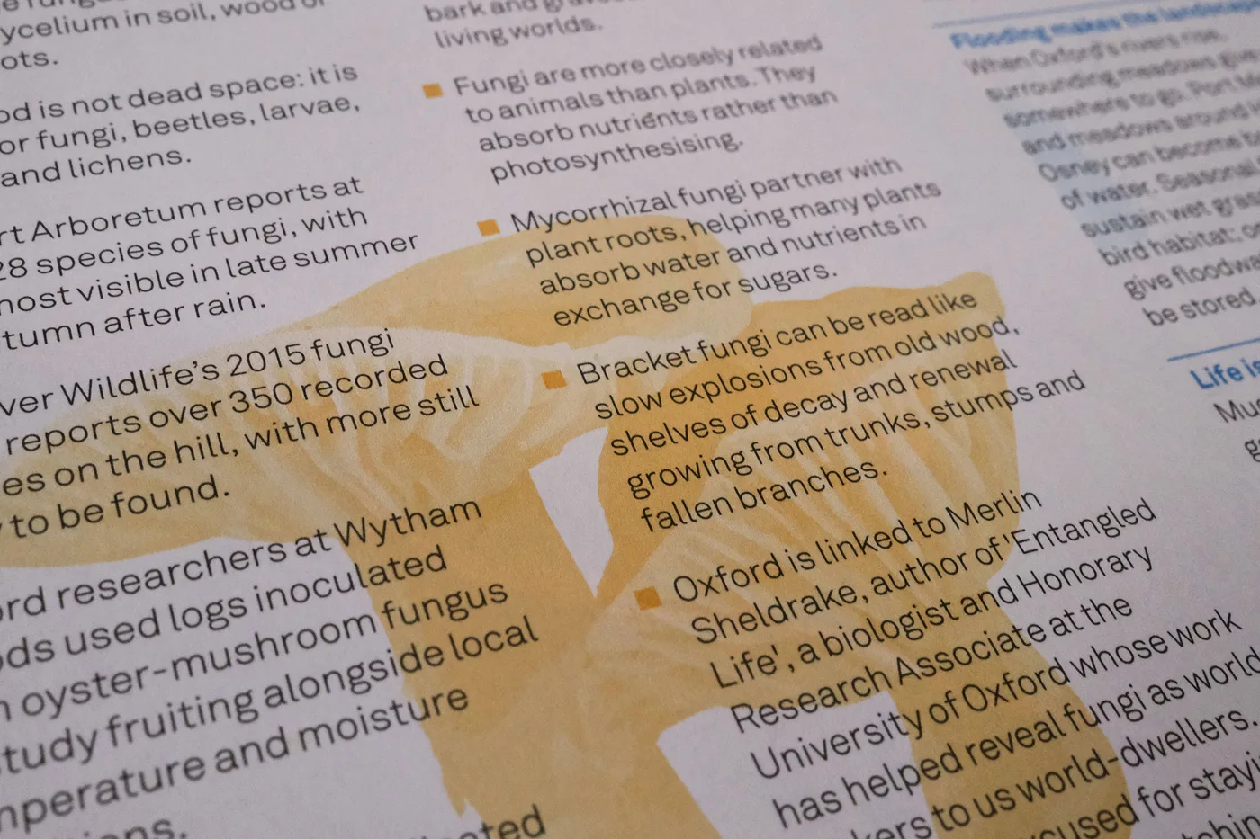
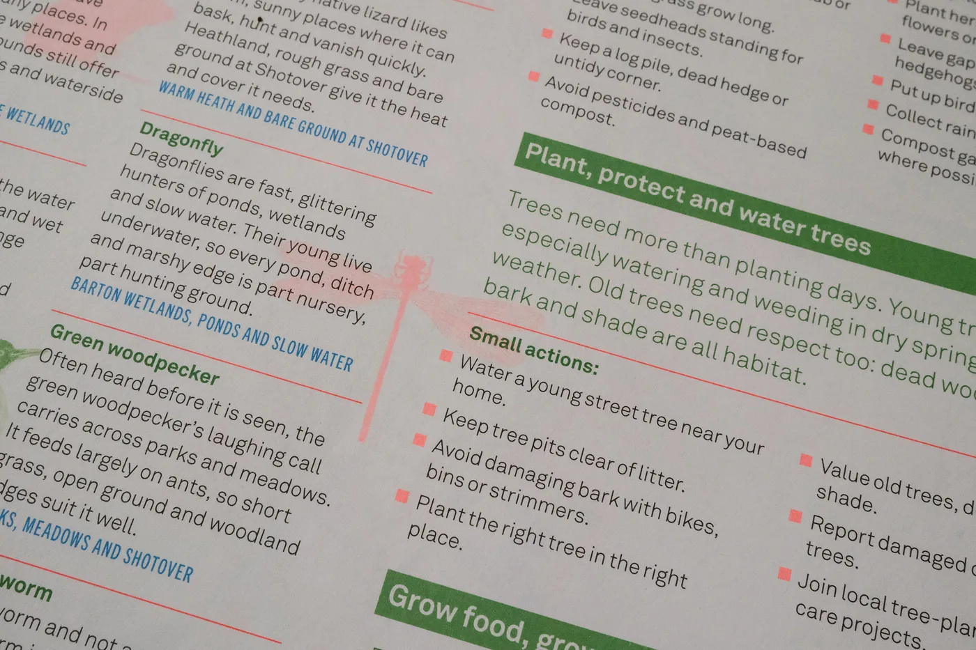
Each entry points readers to a place. In the photographs Urban Good supplied, the dragonfly is sent to Barton wetlands, ponds and slow water, the green woodpecker to parks, meadows and Shotover, and a lizard to the warm heath and bare ground at Shotover. A fungi panel explains how bracket fungi grow on old wood and how mycorrhizal fungi trade nutrients with tree roots.
The atlas also has practical sections on helping nature: growing food, gardening for wildlife, recording what you see and volunteering. Its panel on street trees opens: “Trees need more than planting days.” The small actions it lists include watering a young street tree near your home, keeping tree pits clear of litter, avoiding damage to bark with bikes, bins or strimmers, reporting damaged trees and joining local tree-care projects.
Places you will find on it
The detail photographs show how far the map reaches beyond the obvious meadows.
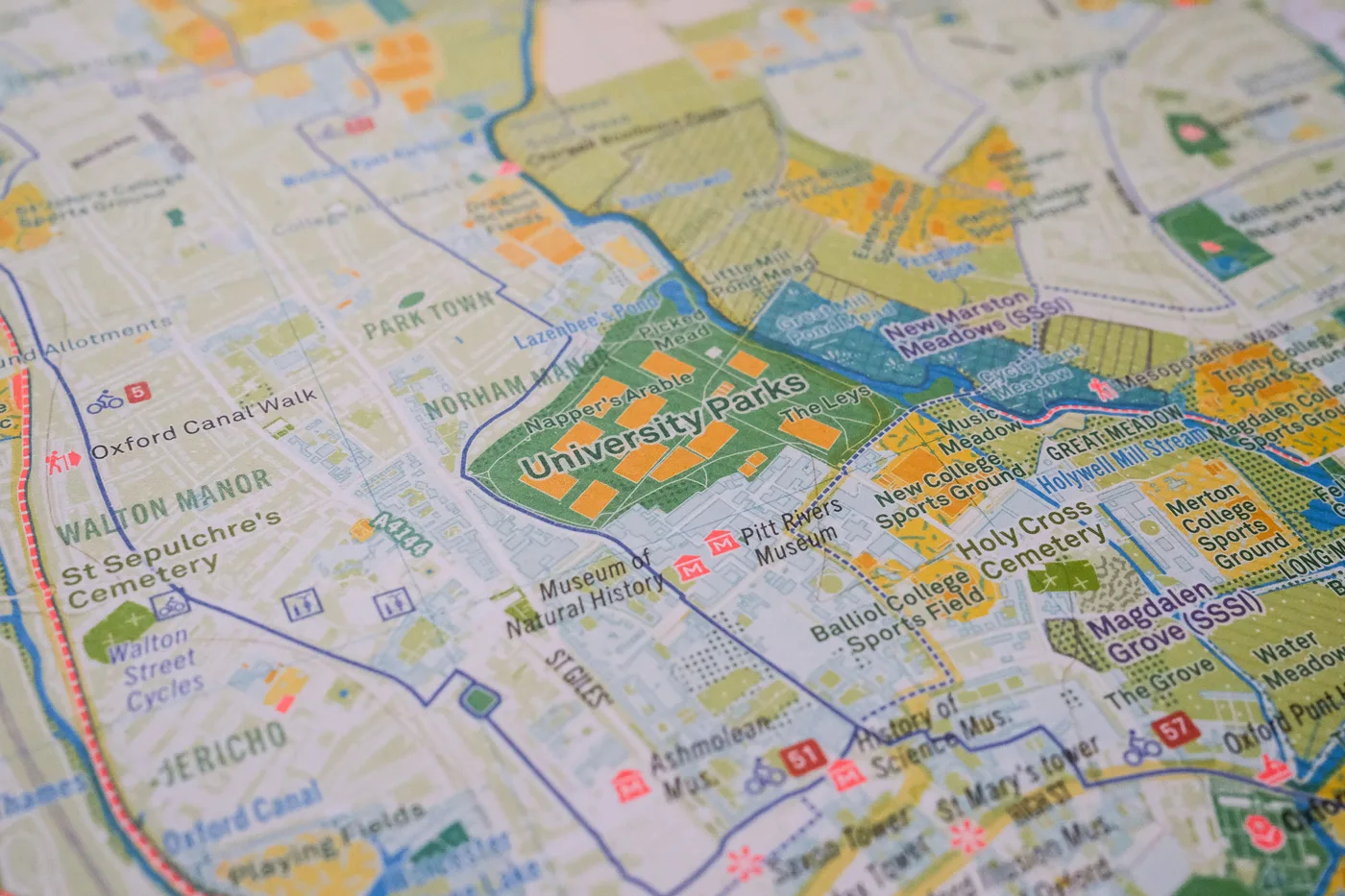
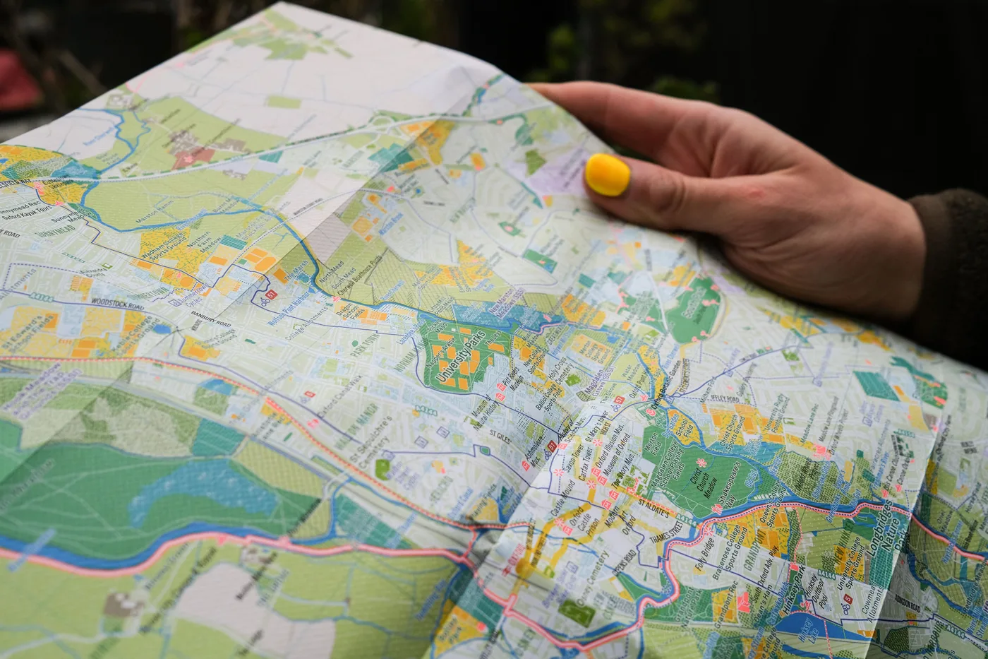
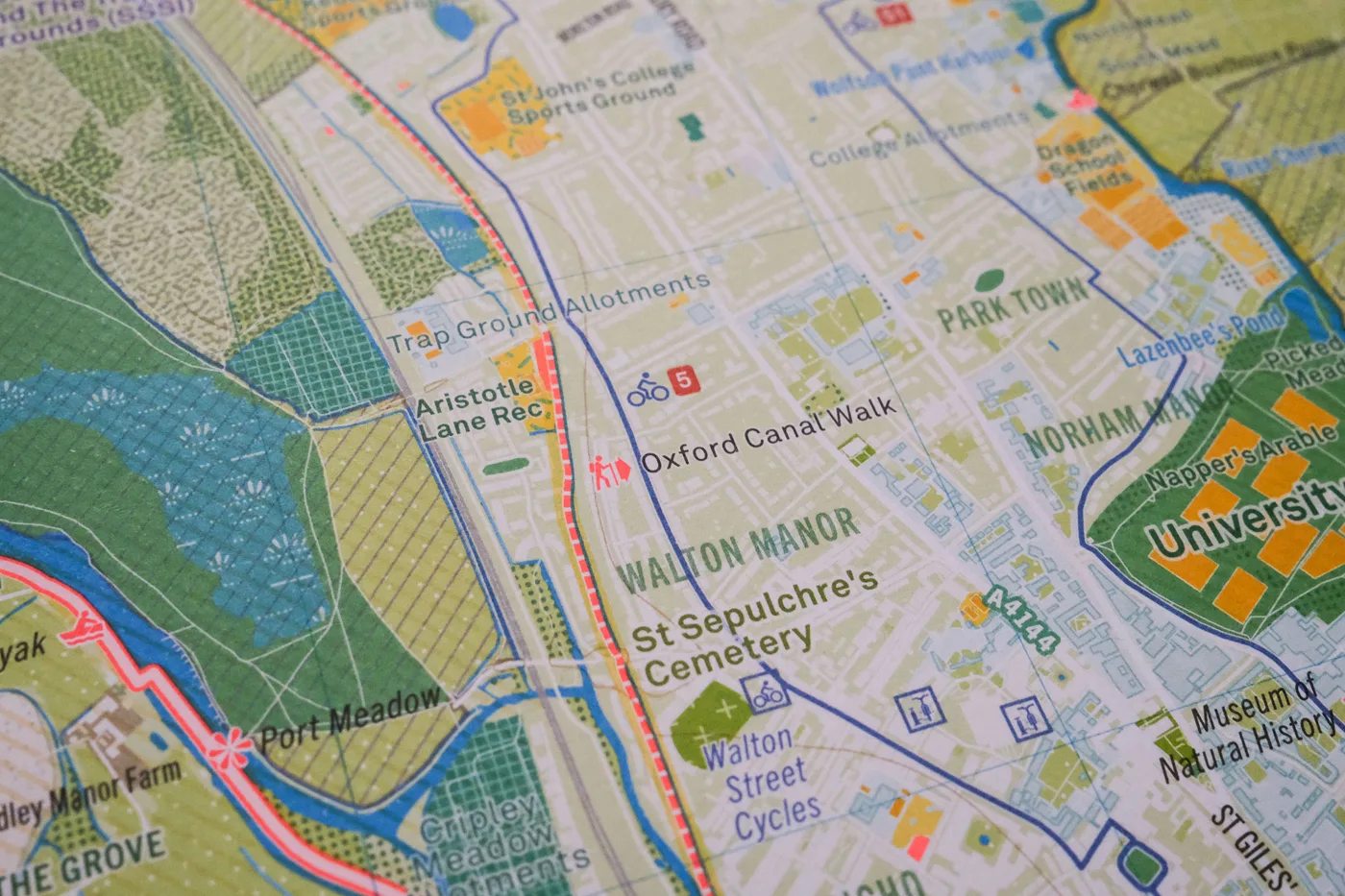
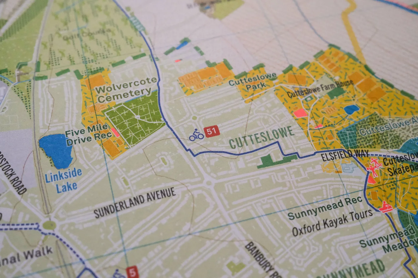
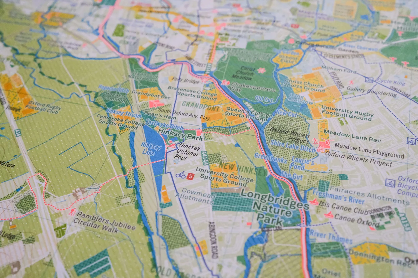
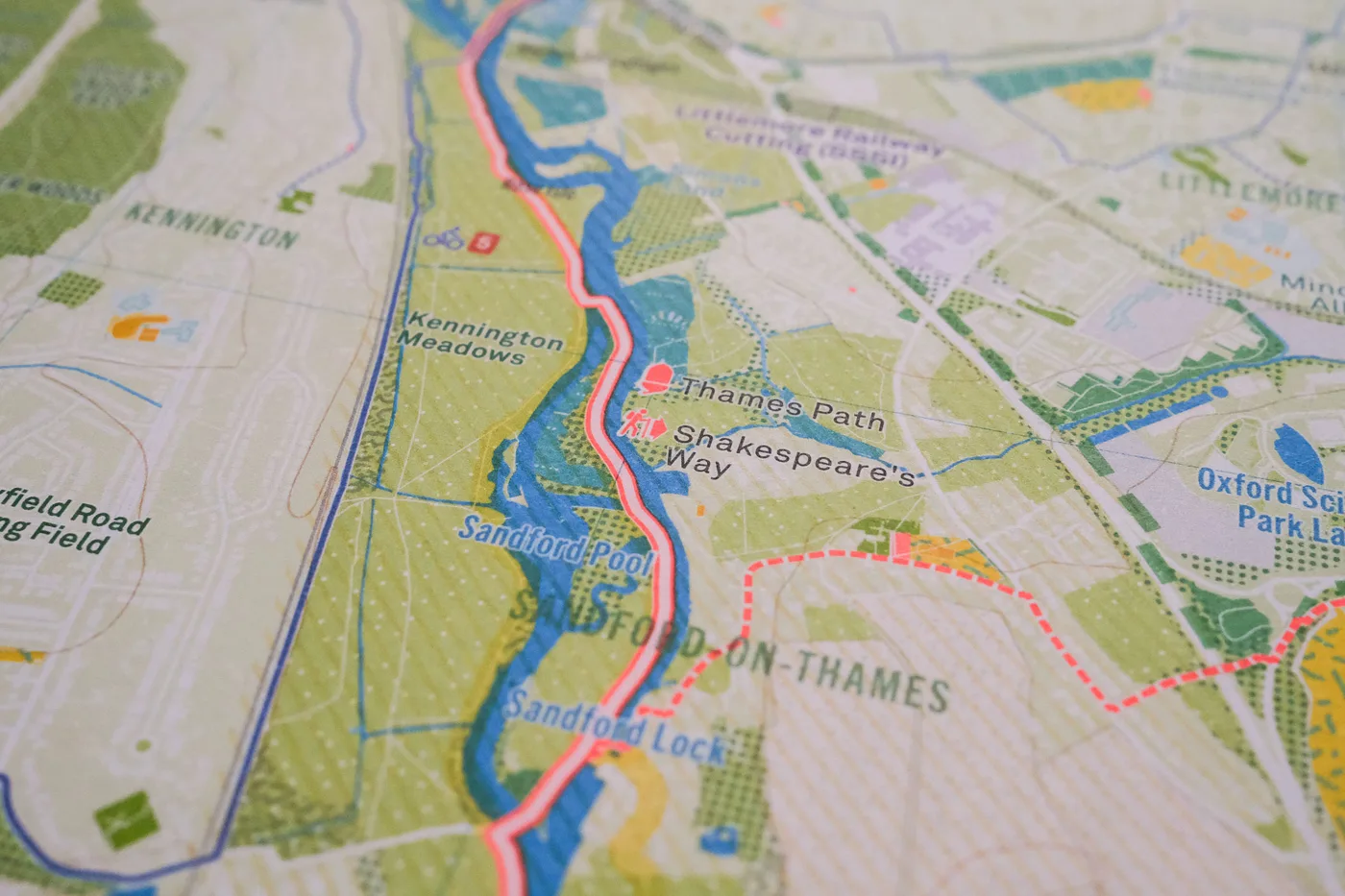
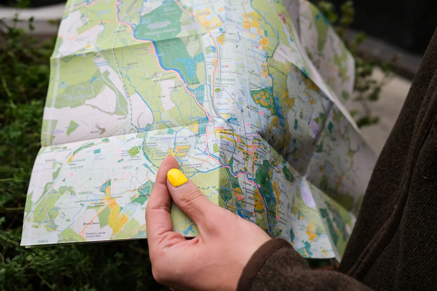
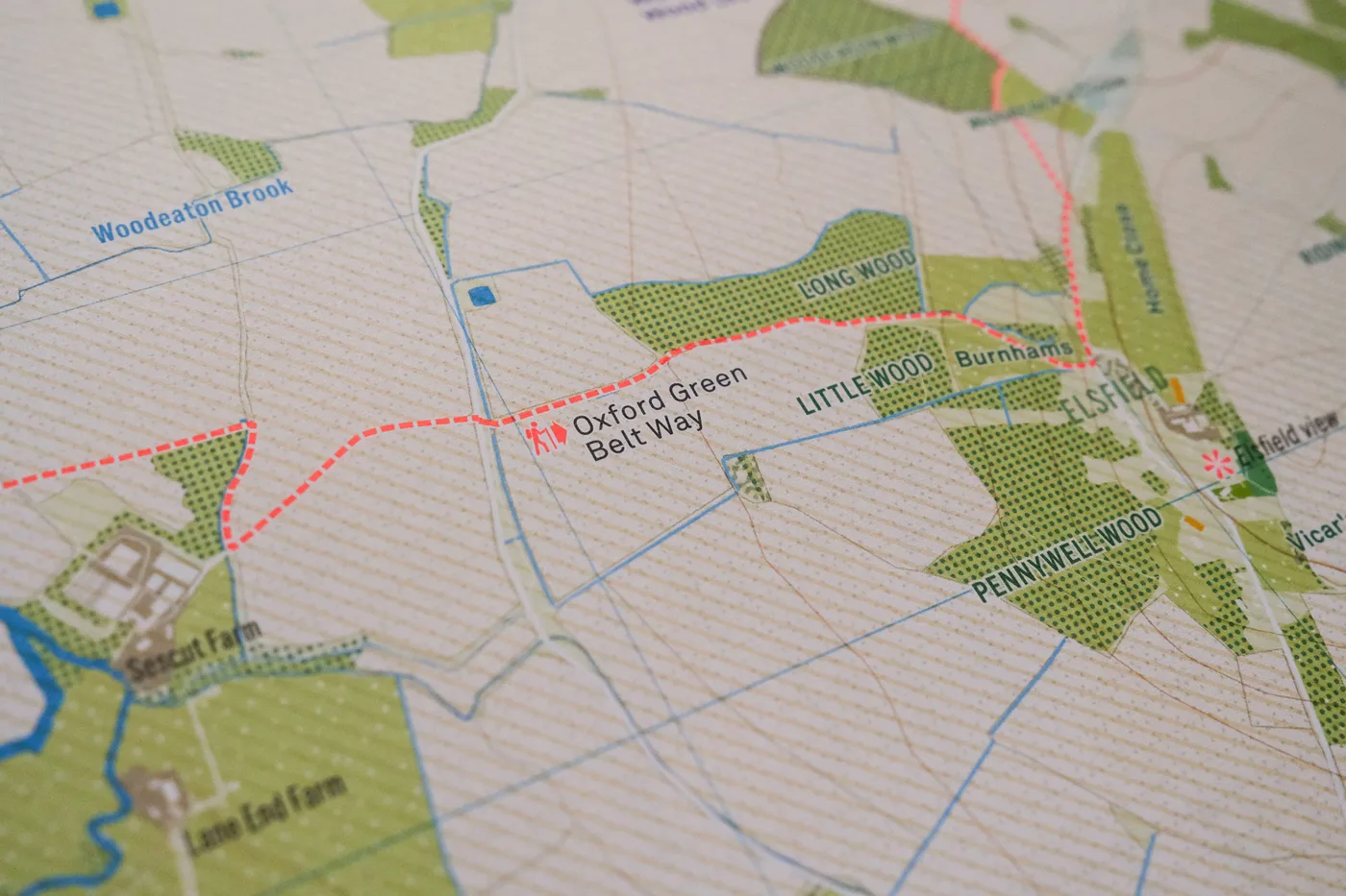
10 photos, tap one to enlarge. Photos: supplied by Urban Good
The key sorts every patch of colour into green space, play space, food space, blue space and protected space, and marks cycle routes and walking trails in fluorescent pink.
2 photos, tap one to enlarge. Photos: supplied by Urban Good
Price and where to buy it
The Oxford Urban Nature Map costs £9 and is published on Thursday 19 November 2026. It is A1, printed on both sides and folded into 24 panels (ISBN 9781914432194). It can be bought online from Urban Good, and the publisher says it will also be in independent shops. Urban Good is pitching it as a Christmas present for residents, former students, walkers and anyone fond of the city.
Urban Good, a community interest company founded in 2016, makes maps and publications about cities. Oxford is the latest in its series of Urban Nature Maps, which it says are designed “to encourage people to discover, enjoy and care for the nature on their doorstep”.
Sponsored feature for Urban Good
Have your say